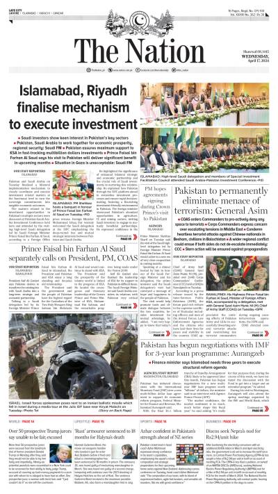
PART-18
Another fiction surrounding the debate on Kalabagh Dam (KBD) project is that every year 35 MAF Indus River water is allowed to be wasted into the Sea.
“Lies, damned lies and statistics”, is the phrase describing the use of statistics to prove a point. In almost all writings originating from people residing in the upper riparian area, the justifications of KBD Project is supported by this statistical data. This calculation is accurate on the basis of annual average flow for a long period of time. But what this information does not reveal is that actual annual flow varies greatly from year to year. Water, which can be available for storage for one year may not flow in the system in the next year. In fact the flow pattern is highly erratic especially in the recent past. This trend may become more acute in view of climate change. The average obtained from the data of actual flows over the past 50 years includes dry seasons and the peak seasons of flood. Presenting a distorted picture of yearly availability of water on the basis of average, does not impress people of Sindh. They consider it a deliberate distortion to justify building storage by the upper riparian and further strengthen their doubts regarding their intentions. Ironically in 2002-03 when President Musharraf started his campaign for building KBD, he was frequently referring to the excess water (35 MAF) wasted in the sea. His argument appeared to be an affront and did not cut any ice with the targeted audience because unfortunately for him in the last five preceding years, the average flow of Indus water below Kotri was 3.47 MAF only. In the last 40 years, an average of 30 MAF water is going into sea and the annual flow in a dry spell from 1999 to 2005 is only 5.73 MAF.
That all water problems of Pakistan would be resolved if KBD is built is another fantasy developed by a certain section of people who believe that KBD is panacea for Pakistan’s present and future water needs. However, the fact is that even if all provinces agree on its construction in the next few weeks, the project works can only start after 3 years. The existing capacity of 14.02 MAF in seven to eight years would reduce to 13.32 MAF on the basis of sedimentation rate in the existing reservoirs. Hopefully actual work on Diamer Basha Dam would start next year and if after that the construction of KBD begins in three to four years, the storage capacity would ultimately exceed to 25 MAF which would only be 30% higher than the capacity developed 40 years ago, with Mangla and Tarbela. Also the total storage would only be less than 20% of the average annual inflows whereas the world average is about 40%.
There is also a belief that no flooding would occur if KBD is constructed. Those who favour the construction of Kalabagh Dam are fascinated with the Project to the extent that it is wishfully claimed that KBD would eliminate the possibility of future floods. I saw many articles and papers written in the aftermath of devastating floods experienced in 2010. The writers think that KBD would absorb all floodwater flows and save the country from all kinds of devastations. Is it true? If KBD had been there, what would be its contribution in reducing the flood intensity of 2010? The correct answer may disappoint many. It would have trimmed the peak flood of 897,000 but rest of downstream flow would still be categorised as a super flood. However, it would have very positively contributed towards flood mitigation. Also it is a fact that Kalabagh dam will not be able to store all water during high flows like other dams. It would store water as per its storage capacity i.e., up to its live storage of 6.1 MAF.
The efficacy of this Dam to store flood water is unique because it cater for the excess flows in River Kabul, for which no other storage facility is available. However, the flooding in Jhelum is only controlled through storage of water at Mangla; whereas we don’t have a reservoir to mitigate the floods in Chenab. It was therefore, not correct when some writers from Punjab claimed through their writings in newspapers in 2014 that had Kalabagh Dam been in place, the flooding of Chenab could be controlled.
Another perception which is not based on real facts is that Sindh does not get a single drop of water from Mangla; that this dam only caters for the water needs of Punjab. While going through the writings of my Sindhi friends on water issues, or interacting with them, non-provision of water from Mangla Dam to Sindh since its completion in 1967 is invariably mentioned. One of the reasons why this fiction has taken roots is the difference of opinion between Sindh and Punjab on how Indus Basin is viewed. The water experts from Punjab take Indus Basin as a whole and do not make any distinction between the rivers of the Basin. For the Sindhi writers, River Indus is somehow treated separately from its tributary rivers like Jhelum and Chenab. After the allocation of three rivers to India through Indus Water Treaty of 1960 Mangla Dam was constructed as part of Indus Basin Replacement Works. It was to cater for the loss of three rivers and this created an impression in Sindh that its water share from Indus has been reduced on account of no contribution from Jhelum River, as the water from Mangla is put to exclusive use of Punjab. This complaint got more acceptability as people in Sindh started to believe that water needed for early sowing of its Kharif crops could not be provided because Mangla Dam which store water of early rising Jhelum River, is for the exclusive use for irrigation requirements of Punjab. However, the fact is that Mangla Dam is part of an integrated Indus Basin and water flow of the two rivers, Jhelum and Chenab is regulated by IRSA as per the demands of the provinces.
The combined flow of Jhelum and Chenab, known as Panjnad River after passing through Panjnad Barrage, joins River Indus at Mithankot, which is just 100 km from Guddu Barrage. The complaints and misgivings of Sindh may have merits on many counts but the record reveals that in the last forty years on an average, Panjnad River flow downstream of Panjnad Barrage is 15.8 MAF which merges into the water of River Indus. This is easier to calculate because the overall flow of River Indus is measured at Guddu in Sindh.
The writer is Chairman WAPDA.