The Indian Chandrayaan 2 spacecraft was put into lunar orbit on 20 August. During the mission, the Vikram lander was supposed to target a patch of high ground between two craters, called Simpelius N and Manzinus C, as it attempted a soft-landing on the lunar surface, some 600 kilometers from the south pole, but lost contact with the ground station.
On Monday, NASA posted new images of the Moon's surface, claiming that the agency had located the "debris field" of the Vikram lander which has been missing since September.
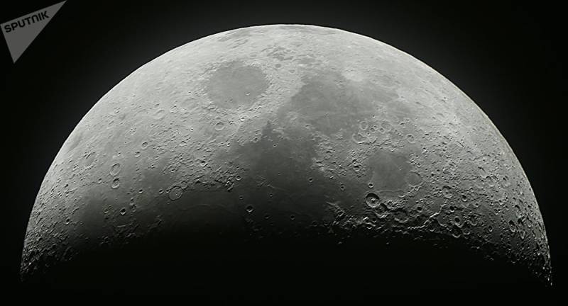
The image released by NASA shows "spacecraft debris (confirmed or likely)".
"Blue dots locate disturbed soil, likely where small bits of the spacecraft churned up the regolith. 'S' indicates debris identified by Shanmuga Subramanian. This portion of the Narrow Angle Camera mosaic was made from images M1328074531L/R and M1328081572L/R acquired Nov. 11", NASA said.
The Chandrayaan 2 was India's second lunar exploration mission. The Indian Space Research Organisation (ISRO) lost contact with the Vikram lander shortly before the scheduled September touchdown.
The ISRO reportedly intends to send another mission to the Moon by the end of next year, and November is considered by Indian scientists to be the most suitable time for a launch.
In 2008, the Chandrayaan 1 became the first successful Moon mission for the Indian Space Research Organisation.