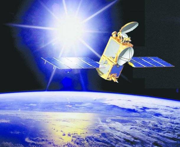
A space mission that will be critical to our understanding of climate change has launched from California. The Jason-2 satellite will become the primary means of measuring the shape of the world's oceans, taking readings with an accuracy of better than 4cm. Its data will track not only sea level rise but reveal how the great mass of waters are moving around the globe. This information will be fundamental in helping weather and climate agencies make better forecasts. The satellite left Earth at 0746 GMT atop a Delta-2 rocket from the Vandenberg Air Force Base. The spacecraft, built by Thales Alenia Space, represents the joint efforts of the US and French space agencies (Nasa and CNES), and the US and European organisations dedicated to studying weather and climate from orbit. How Jason-2 will probe the oceans Elevation is a key parameter for oceanographers. Just as surface air pressure reveals what the atmosphere is doing above, so ocean height will betray details about the behaviour of water down below. The data gives clues to temperature and salinity. When combined with gravity information, it will also indicate current direction and speed. The oceans store vast amounts of heat from the Sun; and how they move that energy around the globe and interact with the atmosphere are what drive our climate system. "The ocean constitutes the long-term memory of the climate system; the time-scales over which the ocean is changing are the climatic timescales," explained Mikael Rattenborg, the director of operations at Eumetsat. "In order to understand climate, in order to be able to predict the evolution of the atmosphere over months, years, and decades even, you need to understand the ocean." Jason-2 is a continuation of a programme that started in 1992 with the Topex/Poseidon mission and is currently maintained by the Jason-1 satellite launched in 2001.
Sunday, May 05, 2024
Key ocean mission goes into orbit

IHC disposes of FIA employees' petition against contract termination
4:57 PM | May 04, 2024
JUI-F decides to launch anti-govt movement sans PTI
4:57 PM | May 04, 2024
Pakistan, Niger reaffirm commitment to strengthen cooperation
4:56 PM | May 04, 2024
Dr Ahmar Sohail Basra assumes charge as Radio Pakistan Lahore station director
4:55 PM | May 04, 2024
Hearing against Ali Amin Gandapur adjourned until May 17
4:53 PM | May 04, 2024
Tourist Tragedy
May 04, 2024
Ending Polio
May 04, 2024
Will Justice Prevail?
May 04, 2024
Fair Play
May 03, 2024
Parliamentary Stalemate
May 03, 2024
Current state of affairs
May 04, 2024
Cryptocurrency revolution
May 04, 2024
The accessibility revolution
May 03, 2024
Maternal well-being
May 03, 2024
Tackling poverty
May 02, 2024
ePaper - Nawaiwaqt
Advertisement
Nawaiwaqt Group | Copyright © 2024


